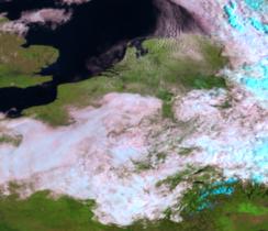
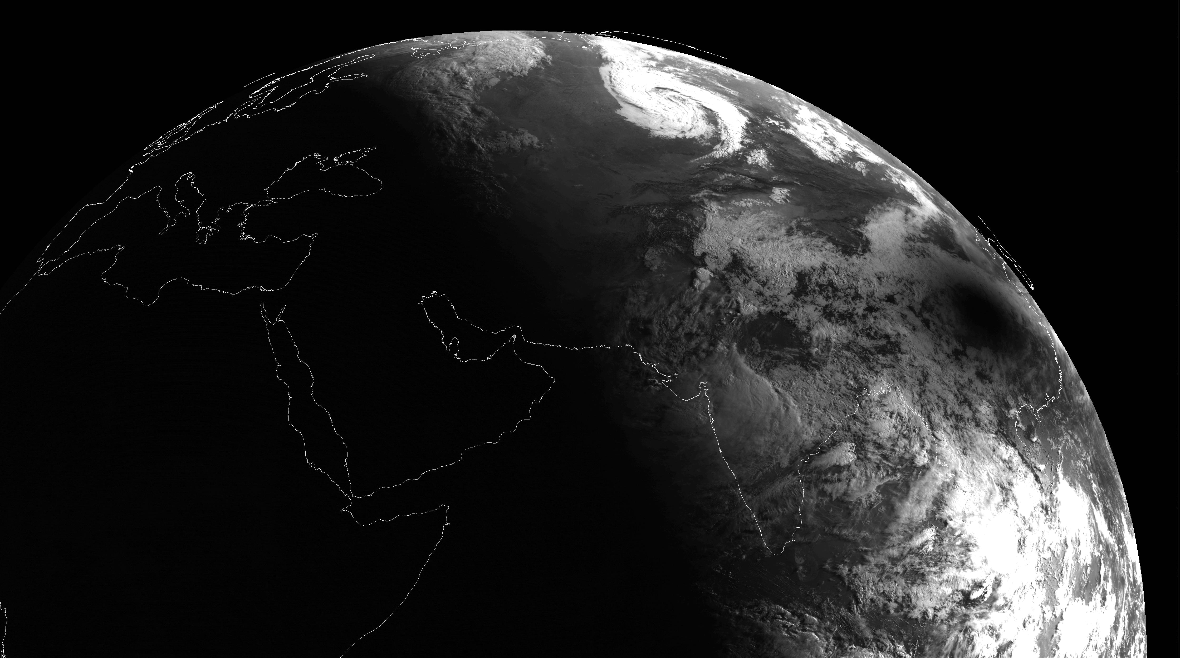
Standard colour Meteosat-8 picture. Mapping:
| VIS006 | VIS008 | IR_016 | 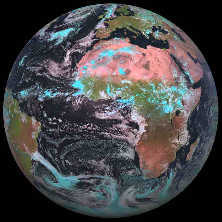 | ||
|---|---|---|---|---|---|
| Red | 0 | 0 | 1 | ||
| Green | 0 | 1 | 0 | ||
| Blue | 1 | 0 | 0 |
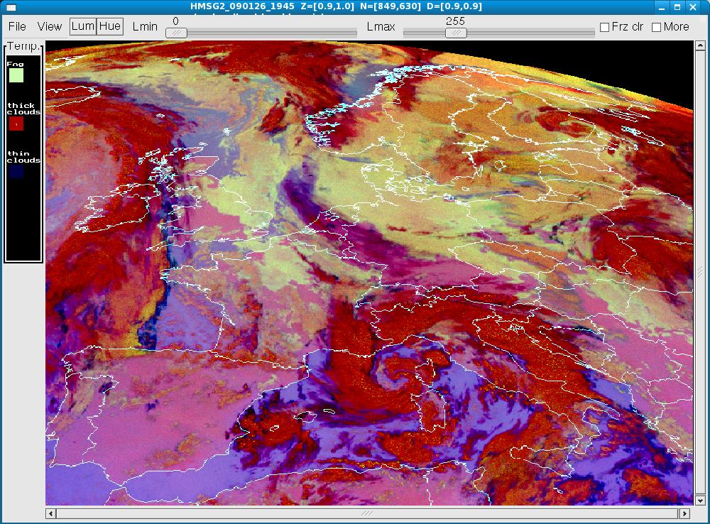
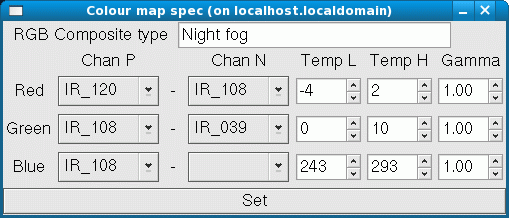
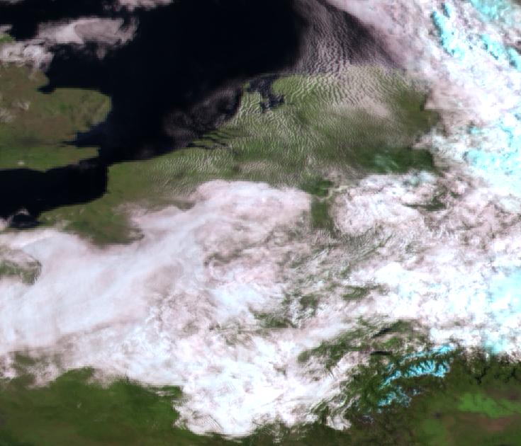
Fog detection MSG2
High resolution colours using HRV for lum and ch1...3 for colour
Hires (1)
- Red =(HRV x IR_016) / LUMlo
- Green=(HRV x VIS008) / LUMlo
- Blue =(HRV x VIS006) / LUMlo
- LUMlo=IR_016 + VIS008 + VIS006

Hires (2)
- Red =HRV + IR_016
- Green=HRV + VIS008
- Blue =HRV + VIS006
Note: Colour saturation low because the "Black-and-White HRV is superimposed on the colour lores picture.
Lores
- Red =IR_016
- Green=VIS008
- Blue =VIS006
Comparing HRIT colour pics, without and with using HRV for luminance.
Iceland MET-8, HRIT, using VIS006/VIS008/IR_016.
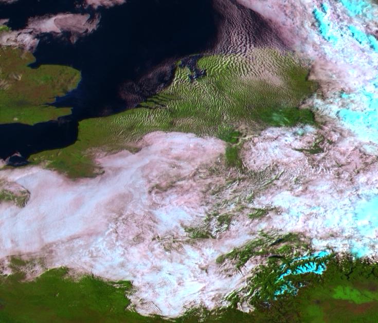
| No HRV | HRV used for luminance |
|---|---|

| 
|
| 
|
| 
|
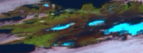
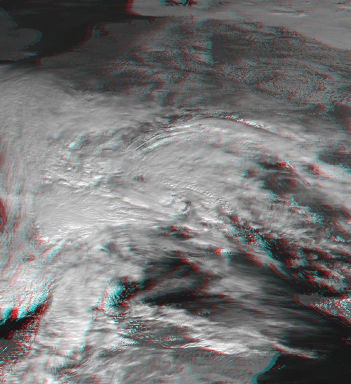
Anaglyph example.
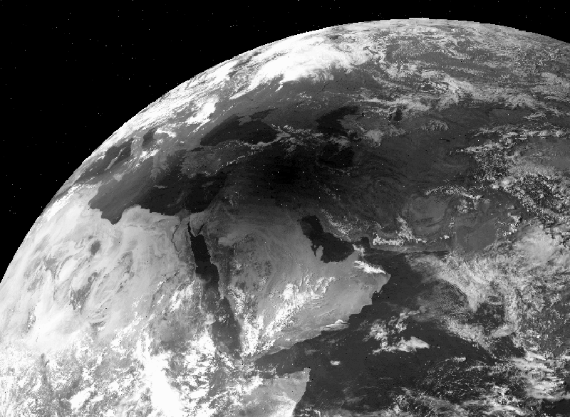
Polar satellites received via Eumetcast.
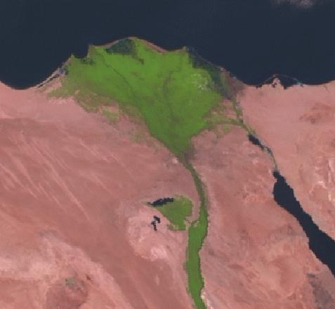
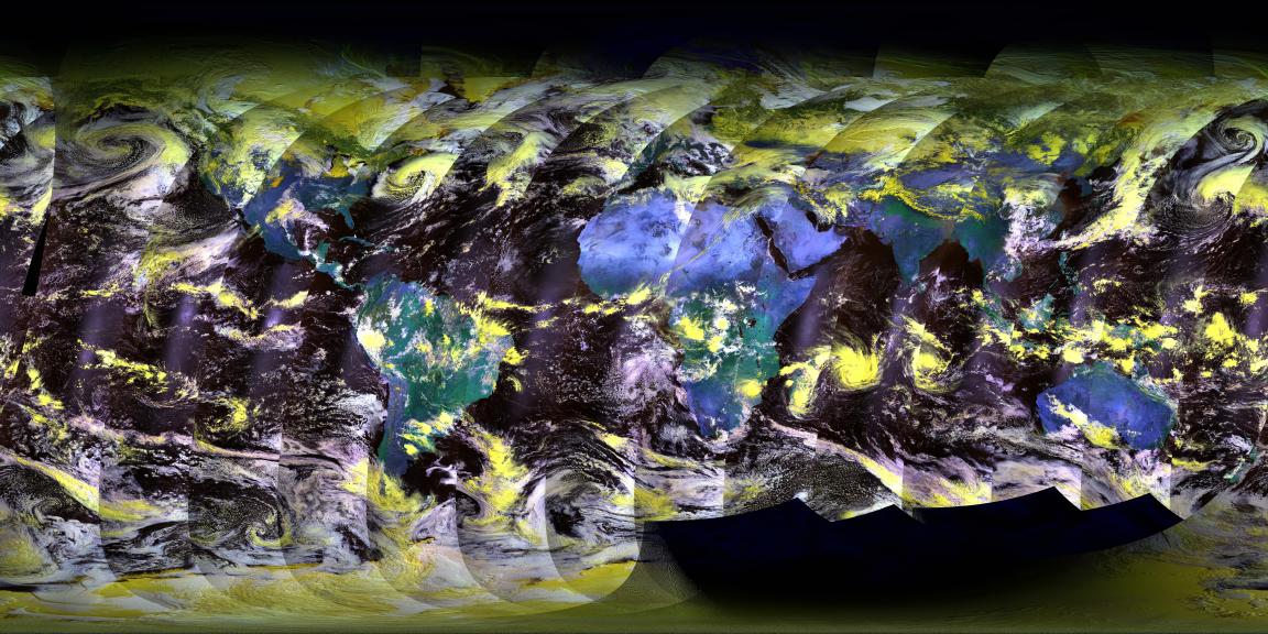
Plate carree mapping of METOP 22-7-2007, start 20:25
Next pictures are all received with the HRPT/CHRPT/PDUS decoder.
For most pictures just 2 software programs are used:
- DOS-program HRPT.EXE
- Unix program XV, only to translate to JPEG
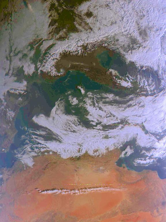
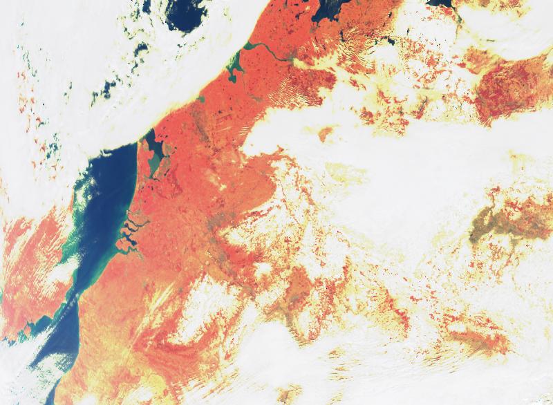
The Sahara picture is also received with the HRPT.EXE program, but a different program is used to combine received channels into a colored picture.
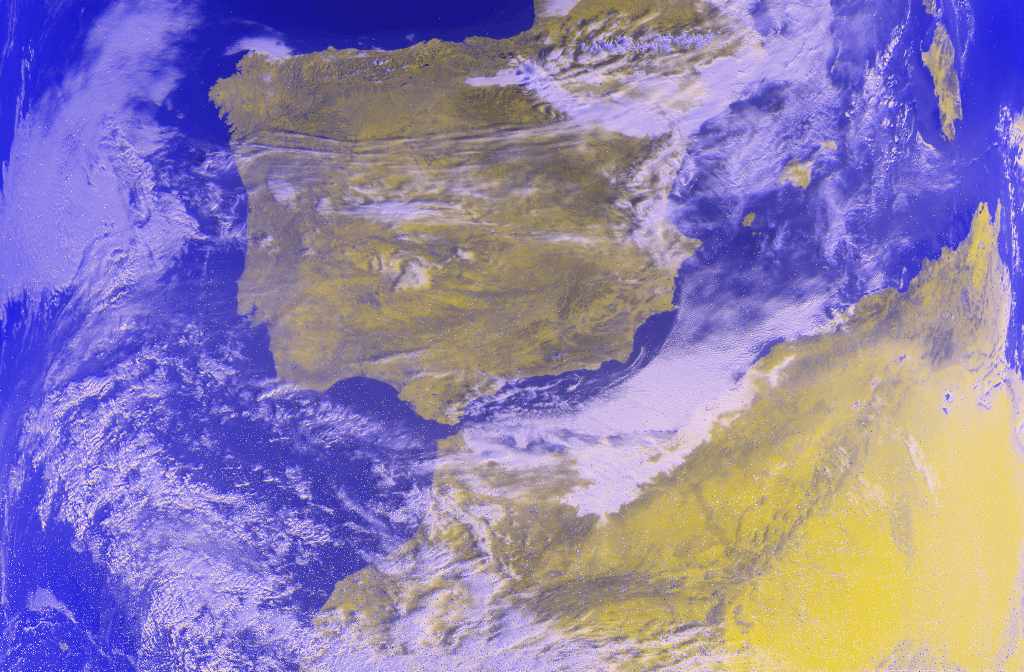
The Spain picture is colored with the new wsat program (Linux).
See also Wil Pfeifer's home page with more pictures recorded with this decoder.
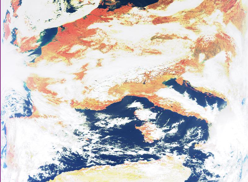
CHRPT: Sahara in color (80k).
(H. v. Deursen)
CHRPT: Spanje in color (83k).
R=Ch2; G=Ch2; B=Ch7-0.5*Ch2
Received from FY1C. Note the color-shift (sensors in satellite not alligned???)
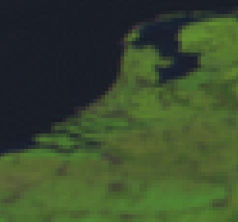
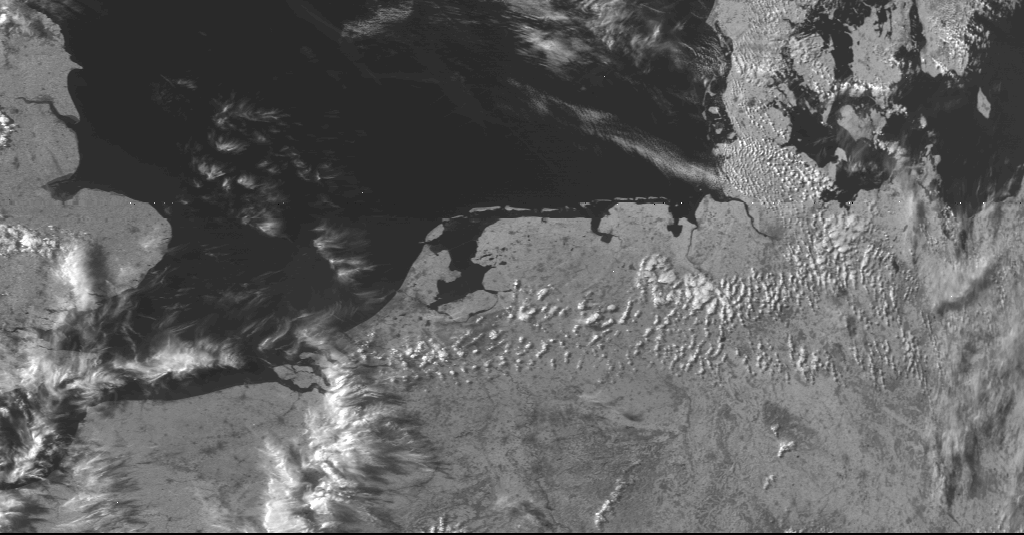
HRPT: The Netherlands (230k).
Received from NOAA12.
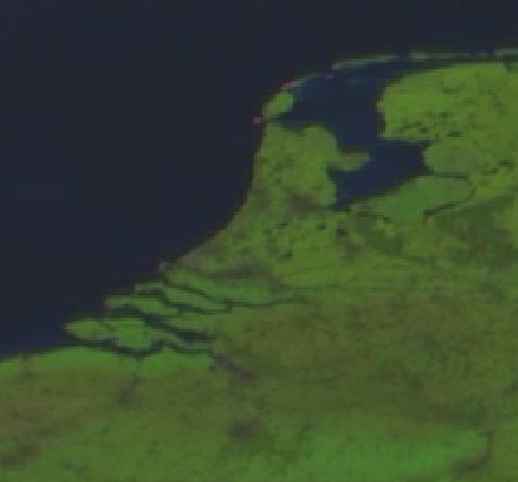
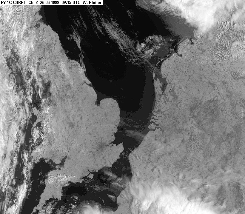
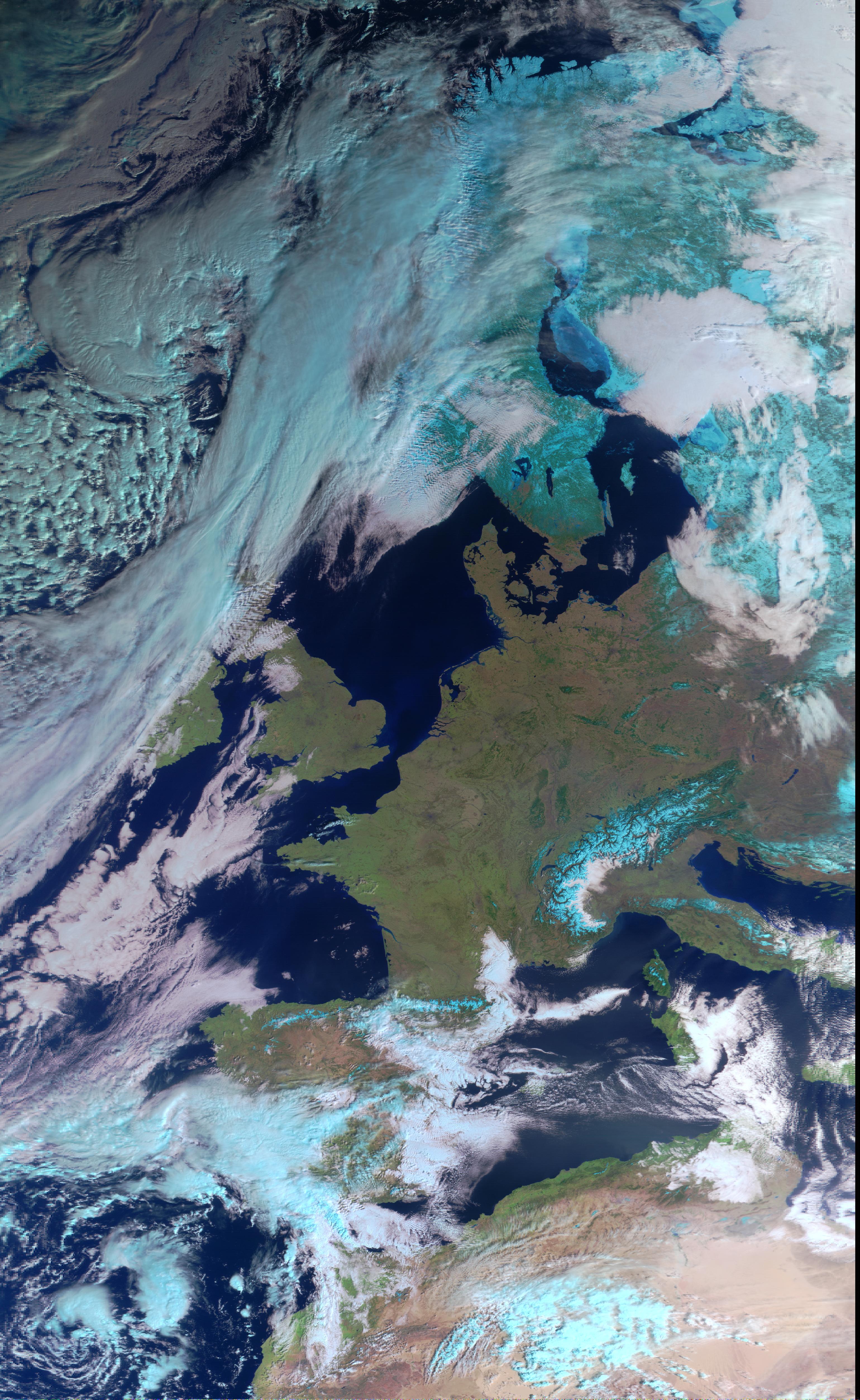
CHRPT: The Netherlands+England (216k).
Received from FY1C, 26-9-1999, 9:15 UTC.
Seastar: Europe (111k).
"Real" colors
Same picture, zoomed (82k).
"Real" colors
Mapping of Seastar pictures:
- R = -30 + 0.3*channel_6
- G = -30 + 0.3*channel_5
- B = -30 + 0.3*channel_2
METEOR
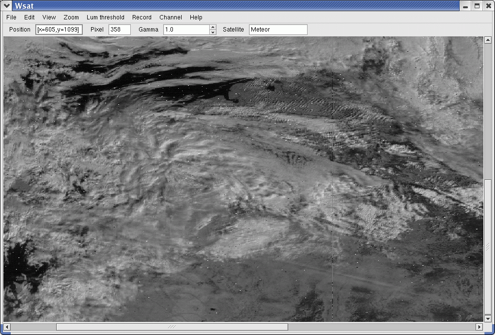
First processed METEOR data by wsat.
Meteor-HRPT 8-3-2011 (received by F. Duttke)
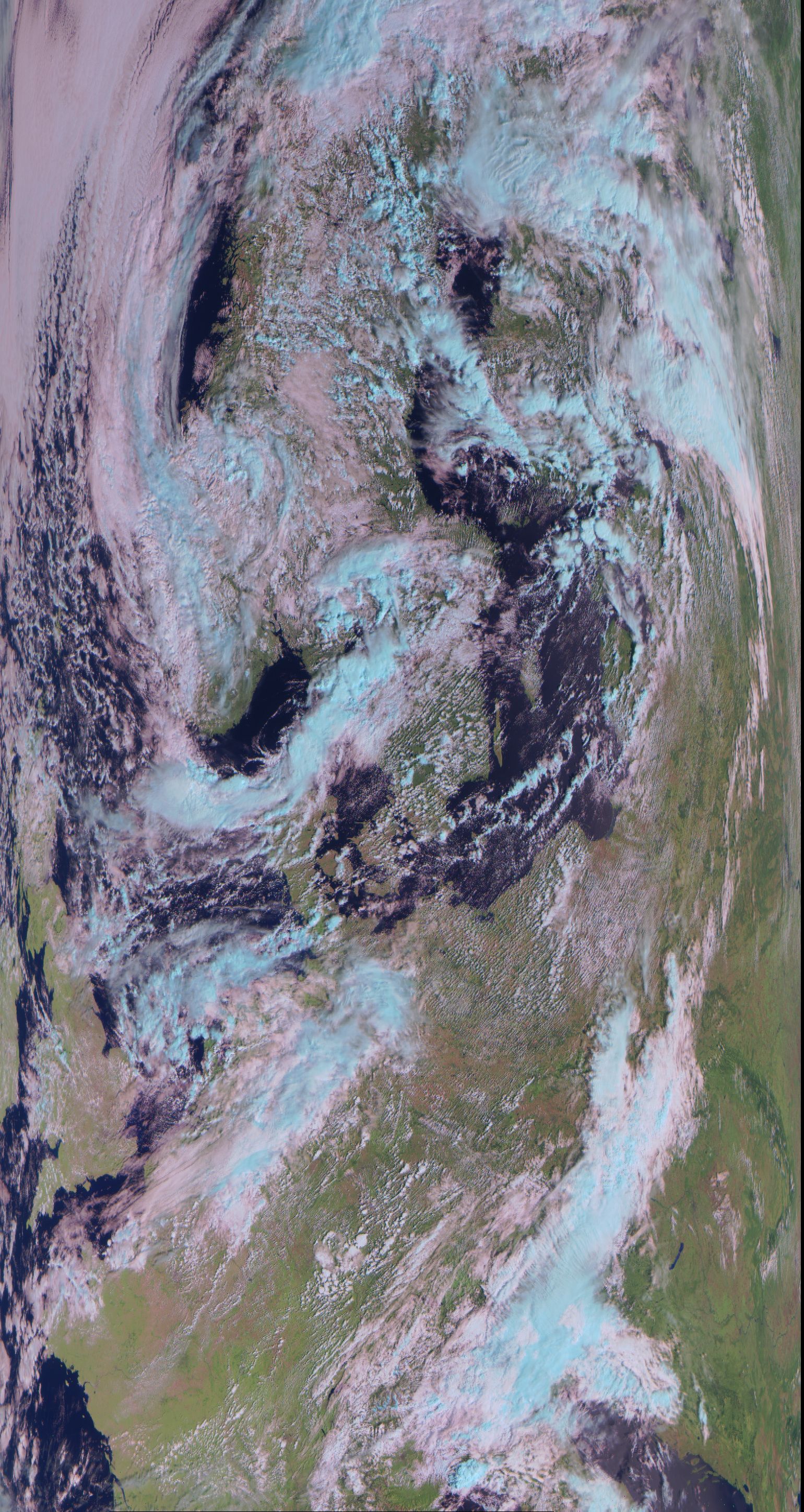
Meteor-N2 19-8-2014 (received by F. Duttke)
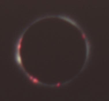
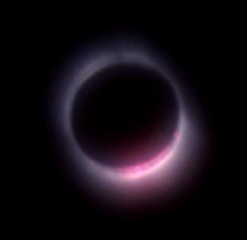
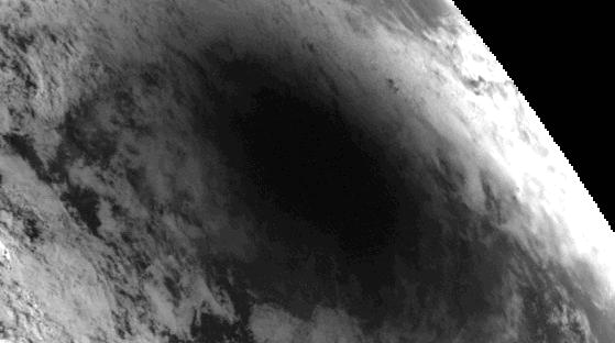
Eclipse 1999.
 Meteosat 5 (272k).
Received from Meteosat 5, 11 august 1999. Actual picture is of 12:00 UTC. At that time the eclipse was south-east of the Black Sea
(lat=33° 27.3' lon=49° 39.6')
Eclipse 2001.
Meteosat 7, 12:00. (HRI)
Eclipse at the Atlantic Ocean, west of Afrika.
Meteosat 5, 13:00.
Eclipse entering Angola.
Eclipse 2006.
Meteosat data © 2006 Eumetsat

METEOR
First processed METEOR data by wsat.
Meteor-HRPT 8-3-2011 (received by F. Duttke)
Meteor-N2 19-8-2014 (received by F. Duttke)
Eclipse 1999.
Received from Meteosat 5, 11 august 1999. Actual picture is of 12:00 UTC. At that time the eclipse was south-east of the Black Sea
(lat=33° 27.3' lon=49° 39.6')
Meteosat 5 (272k).
Eclipse 2001.
Meteosat 7, 12:00. (HRI)
Eclipse at the Atlantic Ocean, west of Afrika.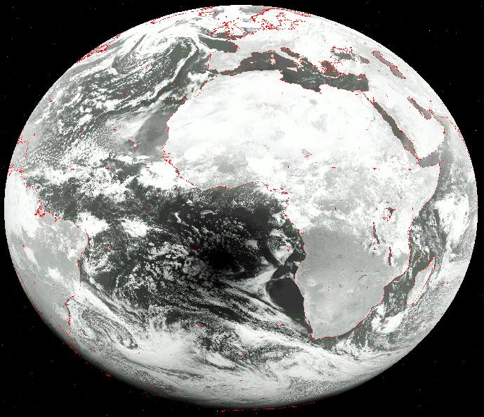
Meteosat 5, 13:00.
Eclipse entering Angola.
Eclipse 2006.
Meteosat data © 2006 Eumetsat| satellite | type | position | download size | |
|---|---|---|---|---|
| Meteosat 8 | avi | 0 deg. east | 7Mb |
Eclipse 2008.
All Meteosat/Metop pictures © 2008 Eumetsat
| satellite | File type | position | download size | |
|---|---|---|---|---|
| Meteosat 7 | avi | 62 deg. east | 7Mb | |
| Meteosat 9 | avi | 0 degr. | 10Mb | |
METOP A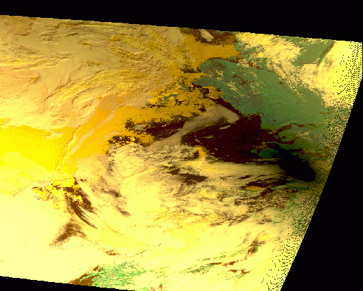 | gif | 10:07 - 10:16 UTC | 118k | |
NOAA 17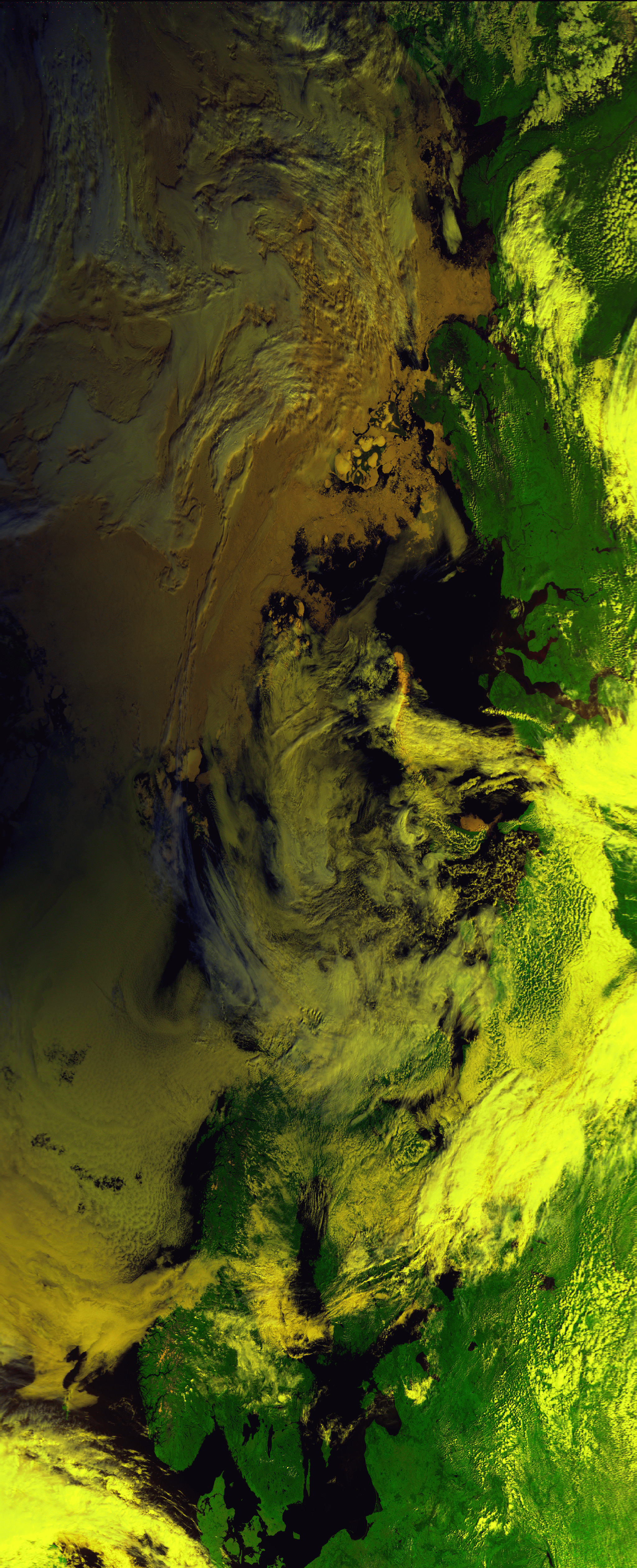 | gif | 9:19 - 9:34 UTC | 670k |
Eclipse 2009.
Meteosat 7
Meteosat 7 + overlay
Meteosat 7 zoomed
MTSATR 7
View My Stats